Sign up for the newsletter
Explore Hiking
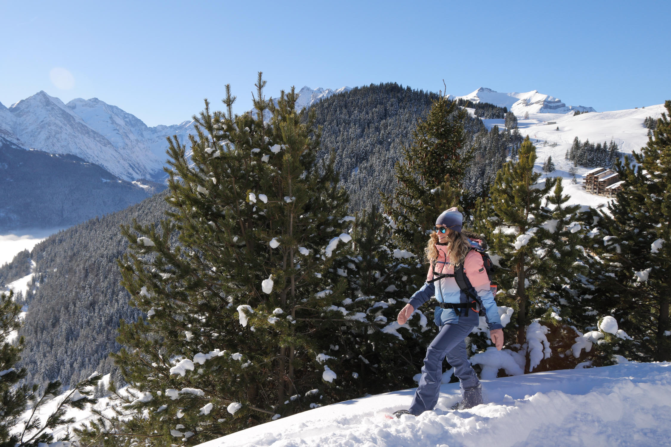
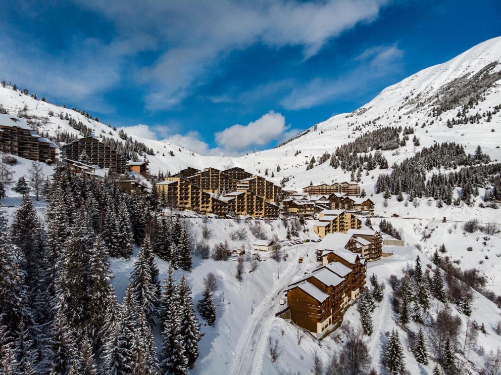
Sentier du Bûcheron - snowshoeing from Auris-en-Oisans resort
Routes
Very low slope <5% %
Low slope <7% %
Moderate slope <10% %
Steep slope <15% %
Very steep slope >15% %
Description
Jacques Le Bucheron's playful trail guides you through the Piégut forest.
ATTENTION: This itinerary is subject to a municipal by-law and is not maintained by our teams in winter.
TECHNICAL INFORMATION
Start: Path below the camper van park
Height difference: 120 m
Duration: 2 hours
Distance: 2.3 km
Level: medium (blue)
MAP AND TOPO
The "Jacques le Bûcheron" educational booklet is available on loan from the Tourist Office in return for a deposit. In it you'll find a quiz and fun facts about life in the forest.
ITINERARY
From the caravan park, take the path on your left: a large sign depicting Jacques le Bûcheron welcomes you at the entrance to the trail.
After about 1 km of forest walking, you'll come to a crossroads. Take the left-hand path, which descends slightly. Once the descent is complete, the path becomes flat for about 200 meters, before gradually climbing back up towards the resort.
At the end of the forest, you'll reach the resort via the pool road.
TO SEE ON YOUR WAY
Jacques Le Bucheron's playful panels on the world of the forest.
NEARBY ATTRACTIONS
Auris-en-Oisans ski resort
Photos
Shops, Services and Heritage Sites


You will also like