The Grande Traversée des Hautes-Alpes (GTHA) in the Pays des Écrins
Other

The Grande Traversée des Hautes-Alpes (GTHA) in the Pays des Écrins

Saint-Martin-de-Queyrières
51.83 km Distance
2093 m Positive elevation
2767 m Negative elevation
1935 m Max. altitude
- Difficulty
Closed

Routes

Very low slope <5% %

Low slope <7% %

Moderate slope <10% %

Steep slope <15% %

Very steep slope >15% %

Description

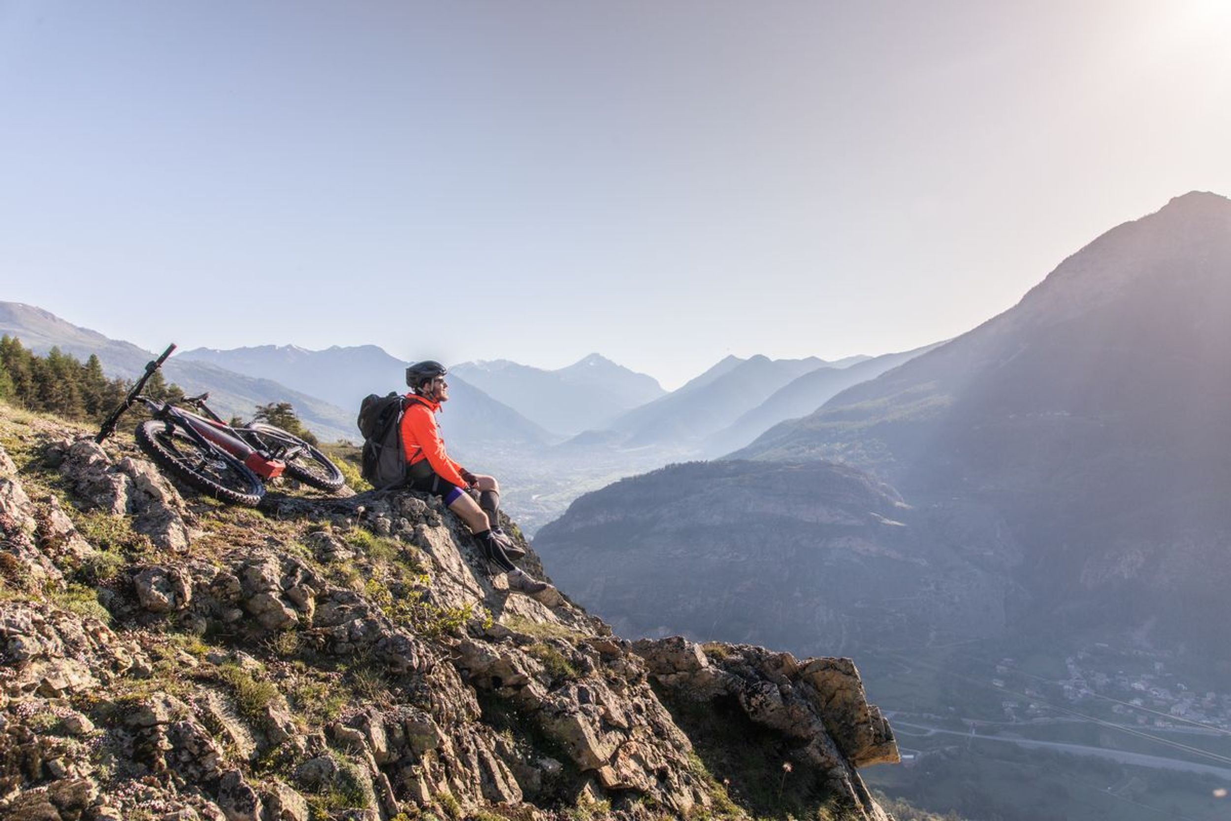
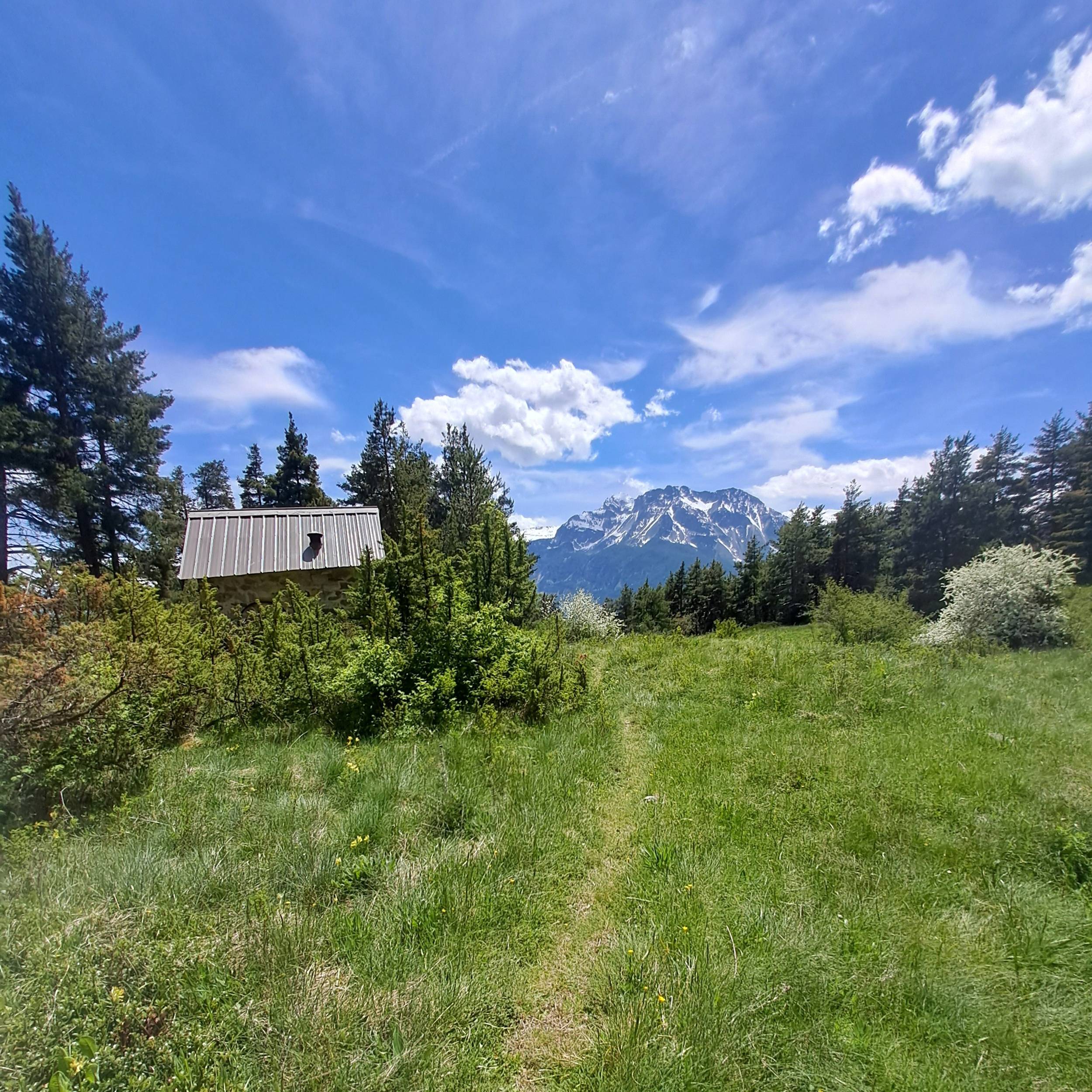
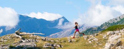
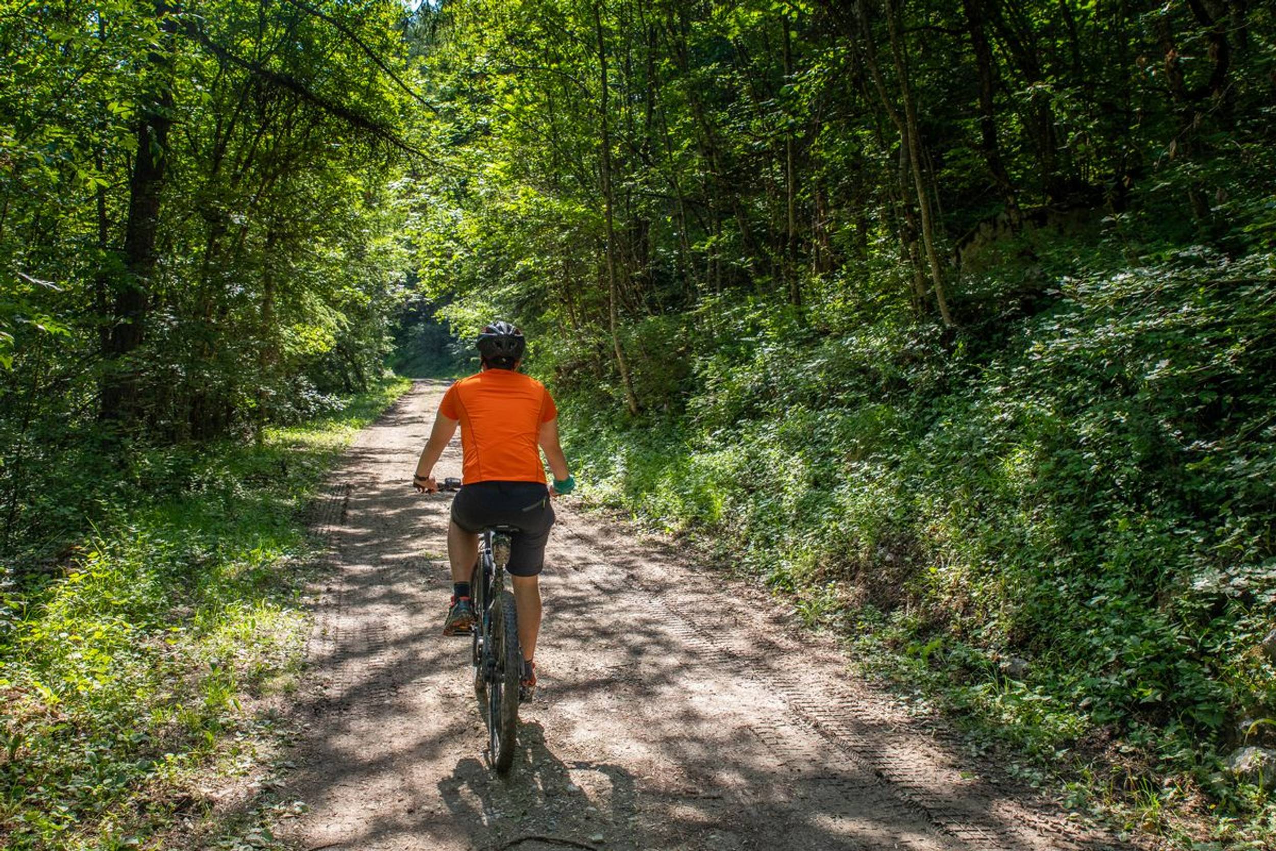
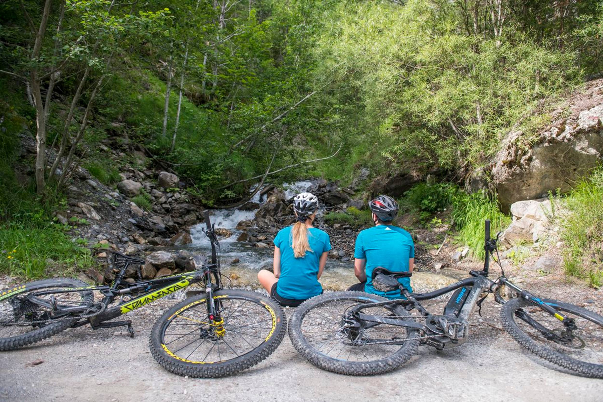
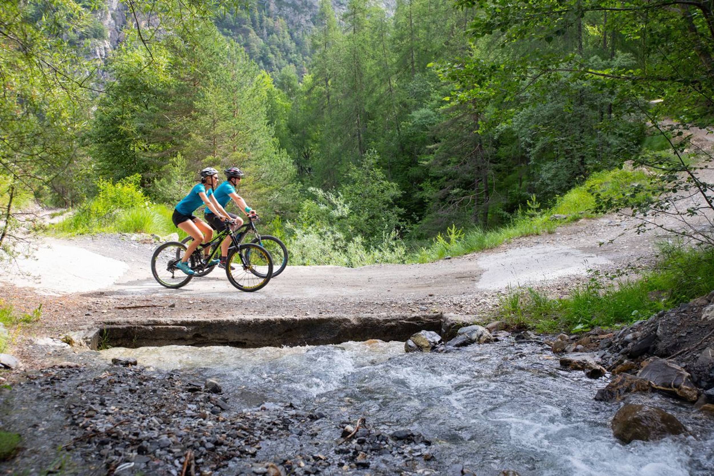
A sensational circuit which crosses the territory of the Pays des Écrins from north to south.


The GTHA is the highest medium-altitude mountain bike route in France. It starts in La Grave-Villar d'Arène and ends in Laragne-Montéglin, thus taking you through 50 kilometres of the territory of the Pays des Écrins. Along the way you will get to know the territory and its communities through its remarkable landscapes and heritage. So, all you need to do is jump on your bike and set off on the adventure.
For more information on the GTHA itinerary, visit the Département des Hautes-Alpes website .

Source APIDAE

Discover the Destination

See more Destinations

Other

Share

Photos

photosFeed-https://static.apidae-tourisme.com/filestore/objets-touristiques/images/157/83/36524957.jpg
photosFeed-https://static.apidae-tourisme.com/filestore/objets-touristiques/images/158/83/36524958.jpg
photosFeed-https://static.apidae-tourisme.com/filestore/objets-touristiques/images/159/83/36524959.jpg
On Piste logo
Download from Apple Store Download from Google Store

Explore the best spots!

We have picked out for you the best destinations and routes, marked out by local experts and respectful of the environments in which they take place. Routes, accommodation, courses, races, equipment, find all the good addresses and recommendations of the On Piste team to organise your next walking, cycling or skiing session. Let us guide you and don't miss any point of interest.
© 2022 On Piste
v. 1.41.0