Sign up for the newsletter
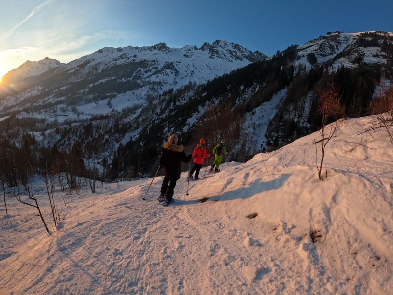
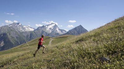
ExploreForet de Piégut AR - snowshoeing from Auris-en-Oisans
Routes
Very low slope <5% %
Low slope <7% %
Moderate slope <10% %
Steep slope <15% %
Very steep slope >15% %
Description
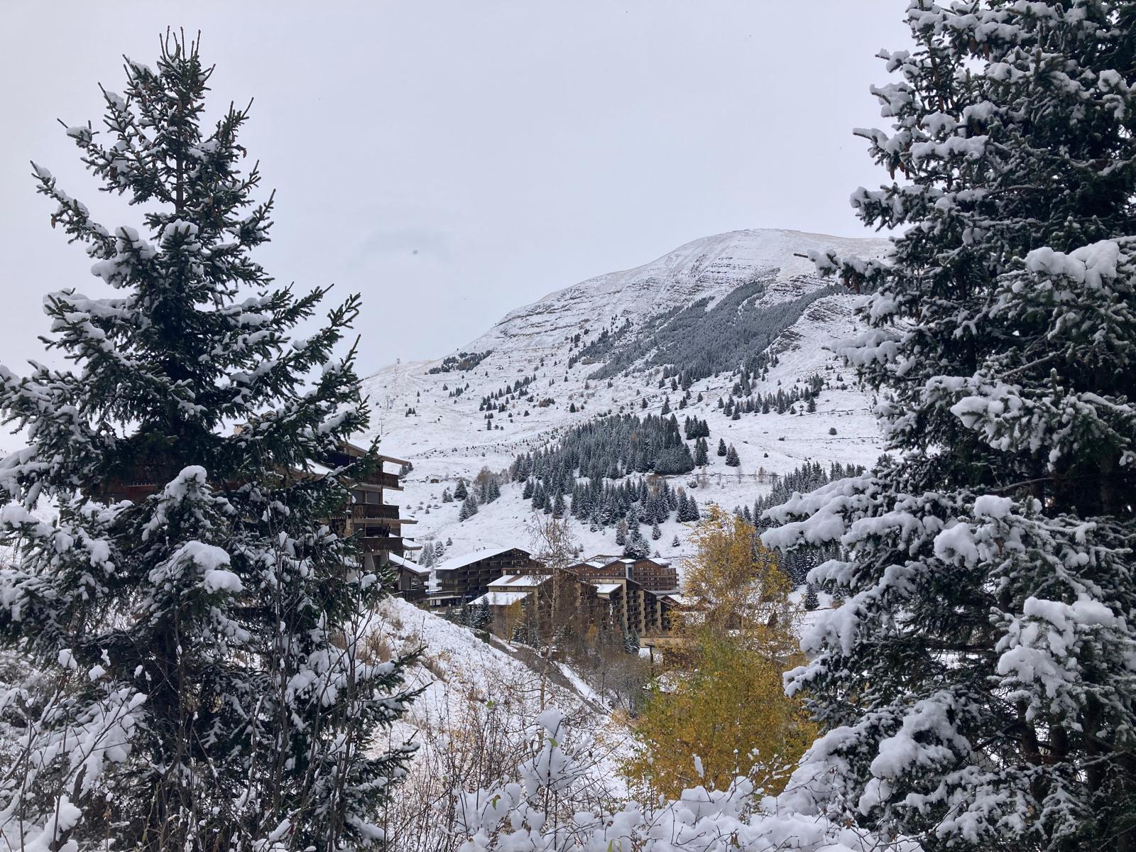
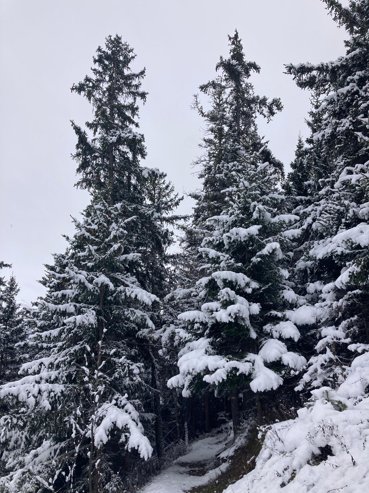
Take a winter walk in Europe's largest high-altitude spruce forest!
TECHNICAL INFORMATION
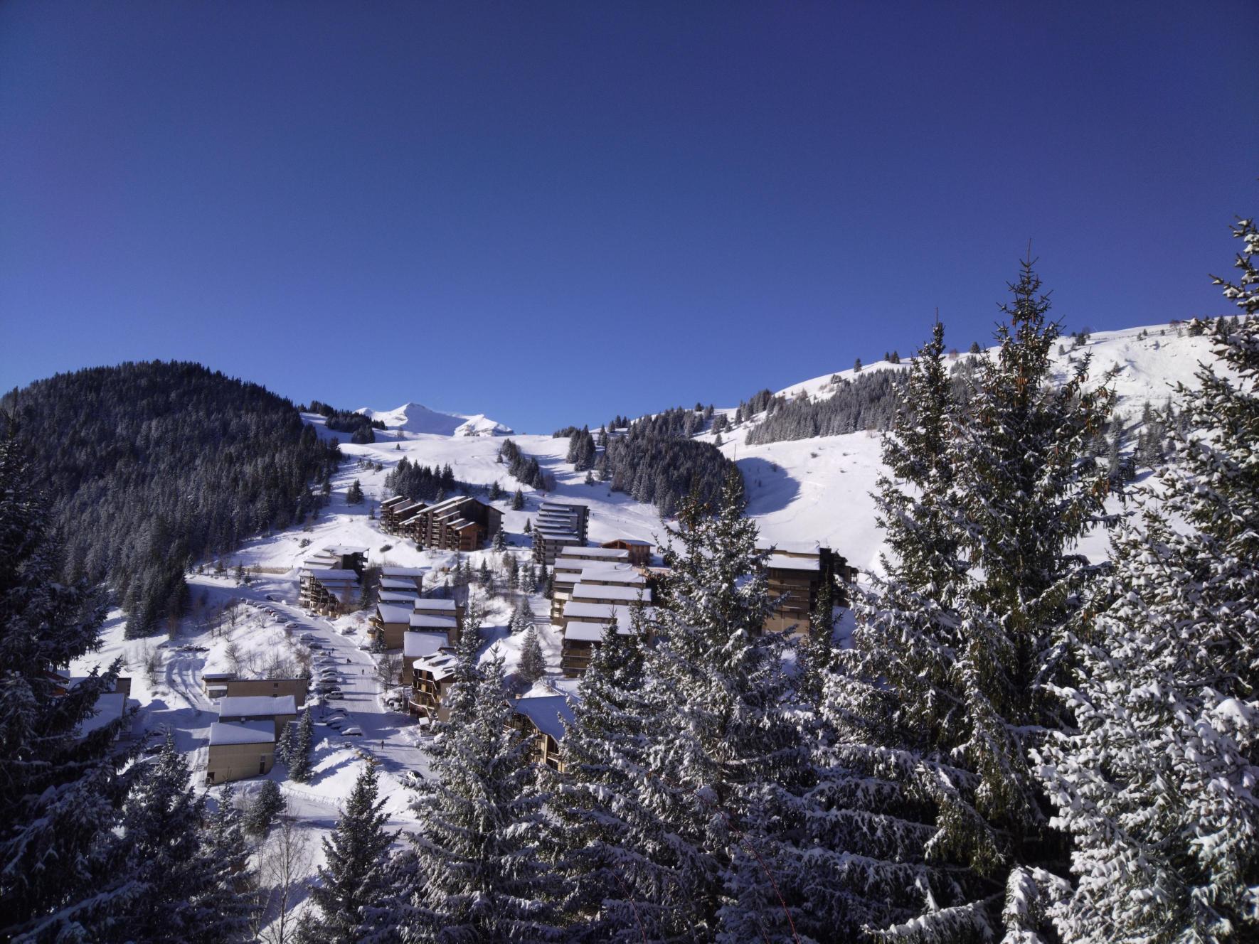
Start: last parking lot in the resort, at the end of Rue de Piégut.
Difference in altitude: 118 m
Round trip time: 1 h
Return distance: 2.3 km
Level: easy (green)
MAP AND TOPO
Pedestrian and Nordic map
ITINERARY
This walk starts at the last parking lot in the resort.
Take the Piégut forest footpath to the right of the parking lot entrance. You'll enter a large spruce forest. The trail gradually climbs up to the summit of Piégut. Once at the summit, continue for about 500 m to the junction with the footpath leading to Les Sûres.
At this point, turn around and return to the resort via the same route.
THINGS TO SEE ALONG THE WAY
Europe's highest south-facing spruce forest
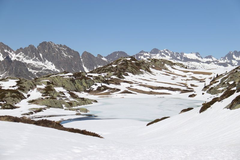
Romanche valley
Oisans summits
Photos
Shops, Services and Heritage Sites


You will also like