Puigmal Pyrénées Cerdagne
Log in
Create an account
routes & spots
events
providers
Difficulty
Not secured
Easy
Medium
Hard
Very hard
Positive elevation
0 m
5000 m
Distance
0 km
150 km
It is not possible to select the difficulty at the same time as distance and elevation
Departure town
Angoustrine-Villeneuve-des-Escaldes
Bourg-Madame
Dorres
Enveitg
Err
Estavar
Font-Romeu-Odeillo-Via
La Cabanasse
Latour-de-Carol
Llo
Llívia
Nahuja
Osséja
Palau-de-Cerdagne
Porta
Porté-Puymorens
Saillagouse
Sainte-Léocadie
Targassonne
Ur
Valcebollère
Égat
More filters
See only open routes
1
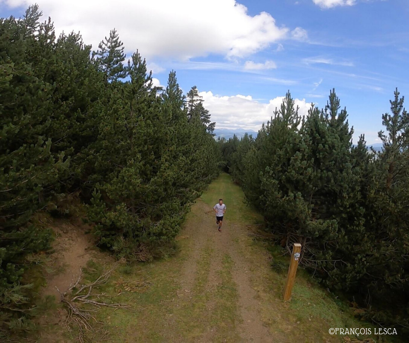
Trail running
Petit tour en forêt
Err
Distance
8.14 km
Positive elevation
158 m
Negative elevation
154 m
Max. altitude
1937 m
1
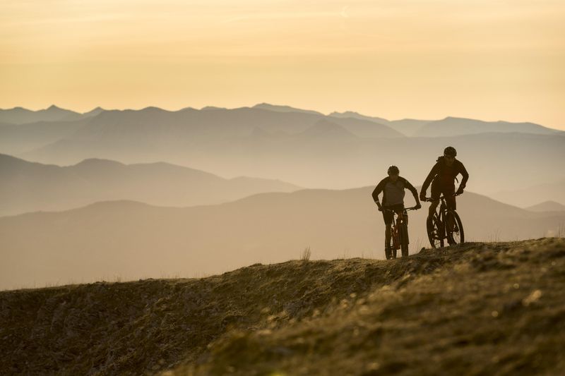
Mountain bike
Shepherd’s Tower
Err
Distance
5.27 km
Positive elevation
111 m
Negative elevation
105 m
Max. altitude
1943 m
Site VTT-FFC
1
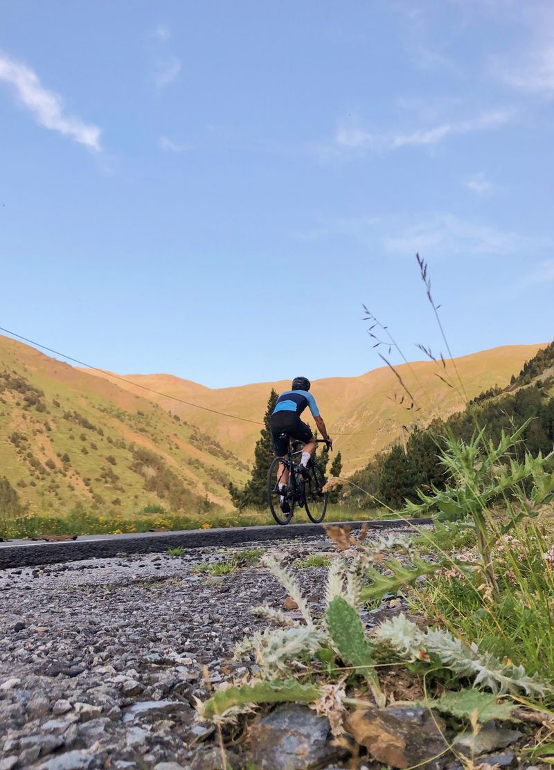
Road bike
A l'Assaut du Puigmal
Llo
Distance
78.44 km
Positive elevation
1809 m
Negative elevation
1800 m
Max. altitude
2228 m
1
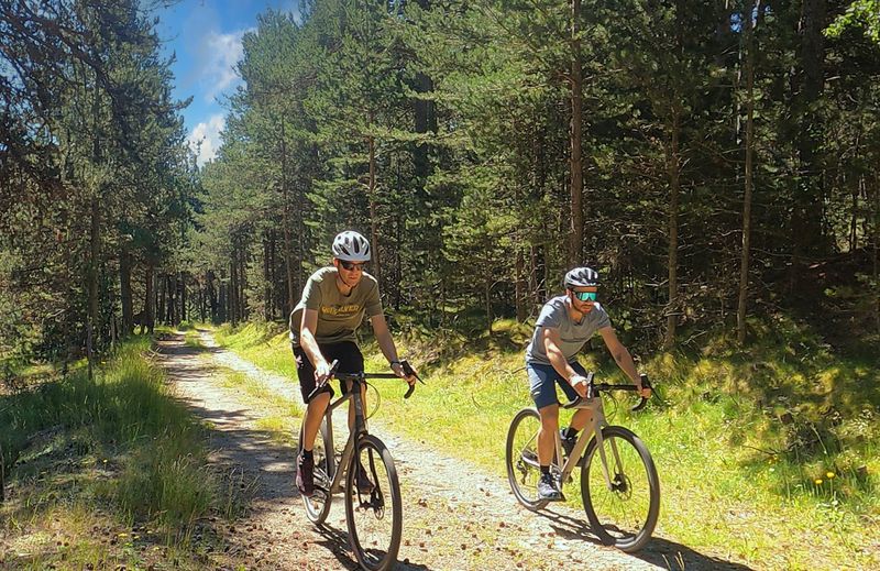
Gravel bike
Llivia - Pic dels Moros
Llívia
Distance
30.48 km
Positive elevation
1055 m
Negative elevation
1053 m
Max. altitude
2129 m
1
Hiking
Le Chemin des Ingénieurs
Porté-Puymorens
Distance
13.83 km
Positive elevation
479 m
Negative elevation
482 m
Max. altitude
2208 m
1
Snowshoes
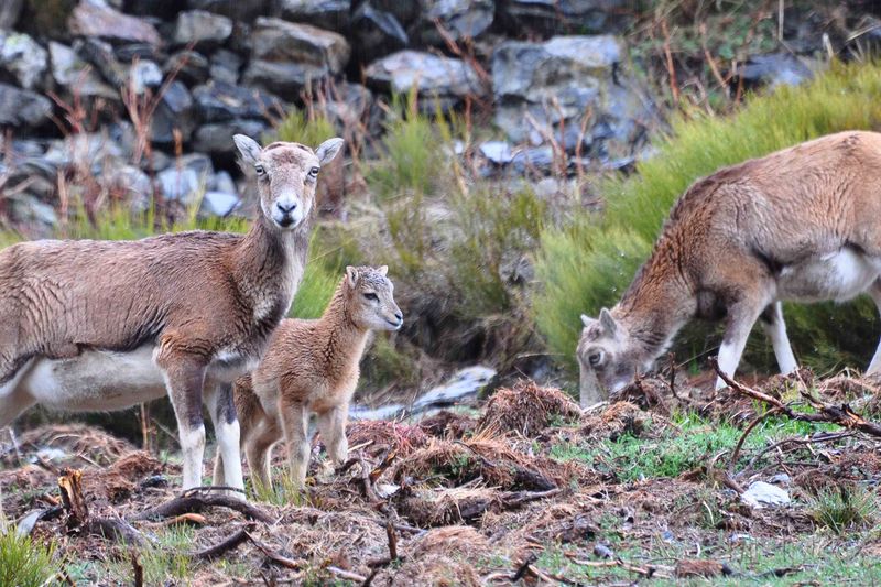
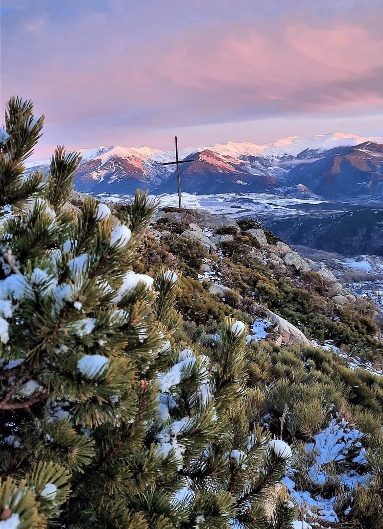
La Croix d'Egat
Égat
Distance
4.59 km
Positive elevation
197 m
Negative elevation
203 m
Max. altitude
1934 m
1
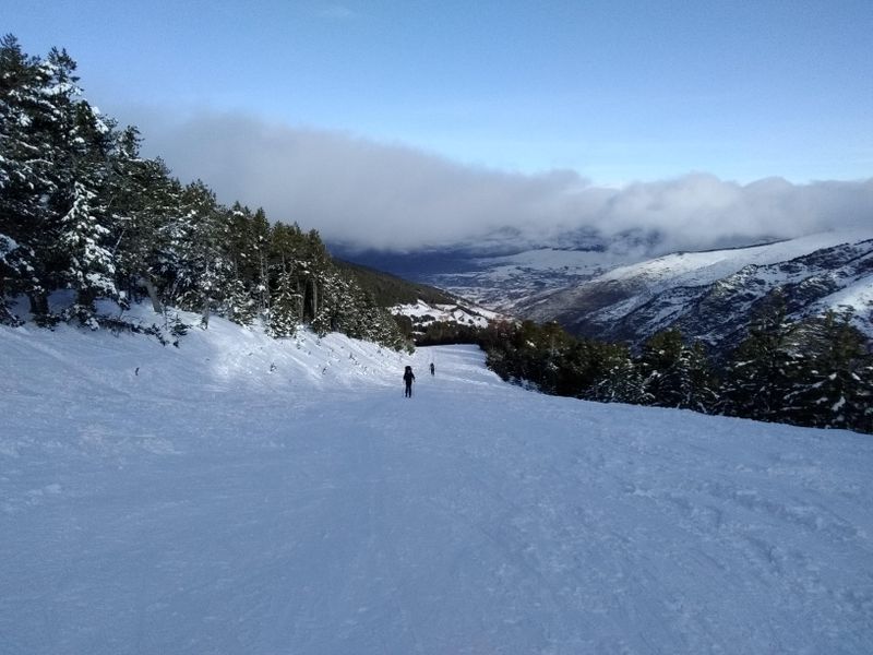
Ski touring
La Tranquille
Err
Distance
2.40 km
Positive elevation
164 m
Negative elevation
156 m
Max. altitude
2017 m
Closed
1
Nordic walking
Refuge pastoral Las Planes
Err
Distance
6.00 km
Positive elevation
177 m
Negative elevation
174 m
Max. altitude
1995 m
2
Gravel bike
Llivia - Bolquère
Llívia
Distance
17.02 km
Positive elevation
565 m
Negative elevation
189 m
Max. altitude
1628 m
2
Snowshoes
La Lac du Passet
Porté-Puymorens
Distance
9.24 km
Positive elevation
220 m
Negative elevation
220 m
Max. altitude
1790 m
2
Ski touring
Forêt sans embûche
Err
Distance
7.05 km
Positive elevation
483 m
Negative elevation
475 m
Max. altitude
2337 m
Closed
2
Nordic walking
Chemin de Saint Barnabé
Valcebollère
Distance
5.30 km
Positive elevation
240 m
Negative elevation
241 m
Max. altitude
1760 m